January 2024 / CROSS-COUNTRY SKIING
At Fish Creek and Little Square Pond. Rich Macha
The trail south of Middle Pond. Rich Macha
Skiing in Canoe Country
By Rich Macha
A fair amount has been written about cross-country skiing within the Saint Regis Canoe Area which lies north of Floodwood Road, but I have seen little mention of the skiing potential south of the road. Cross-country skiing in canoe country? It does make sense since skiing, like paddling, is just gliding on water.
A few years ago, I was on a September canoe camping trip and intended to paddle some of the ponds within the Saranac Lakes Wild Forest located south of Floodwood Road, while I was base-camped at Polliwog Pond. After a dark and stormy night, gusty winds were forecasted for the day, and I decided that paddling would not be a wise option (I later found out that the third day of the 90-miler canoe race was canceled that day due to the winds). After checking the map, I realized that I should still be able to visit those ponds on foot, and, after hiking an 8.6-mile loop, the thought occurred to me that this would make a delightful cross-country ski route.
Late last winter, I joined four friends for four days of cross-country skiing in the Saranac Lake/Lake Placid area, and finally got around to skiing the above loop. The temperature was a little below freezing when we started, but a little above freezing when we got done four hours later – the snow was a bit sticky at the end but, for the most part, conditions were very good with over a foot of snow. Floodwood Road, despite being a dirt road, was well-plowed. However, neither of the two parking areas on either side of Middle Pond was plowed, so we decided to park on the side of Floodwood Road at a wide spot where the road is just a few feet from Middle Pond and start our trip from there.
Our route.
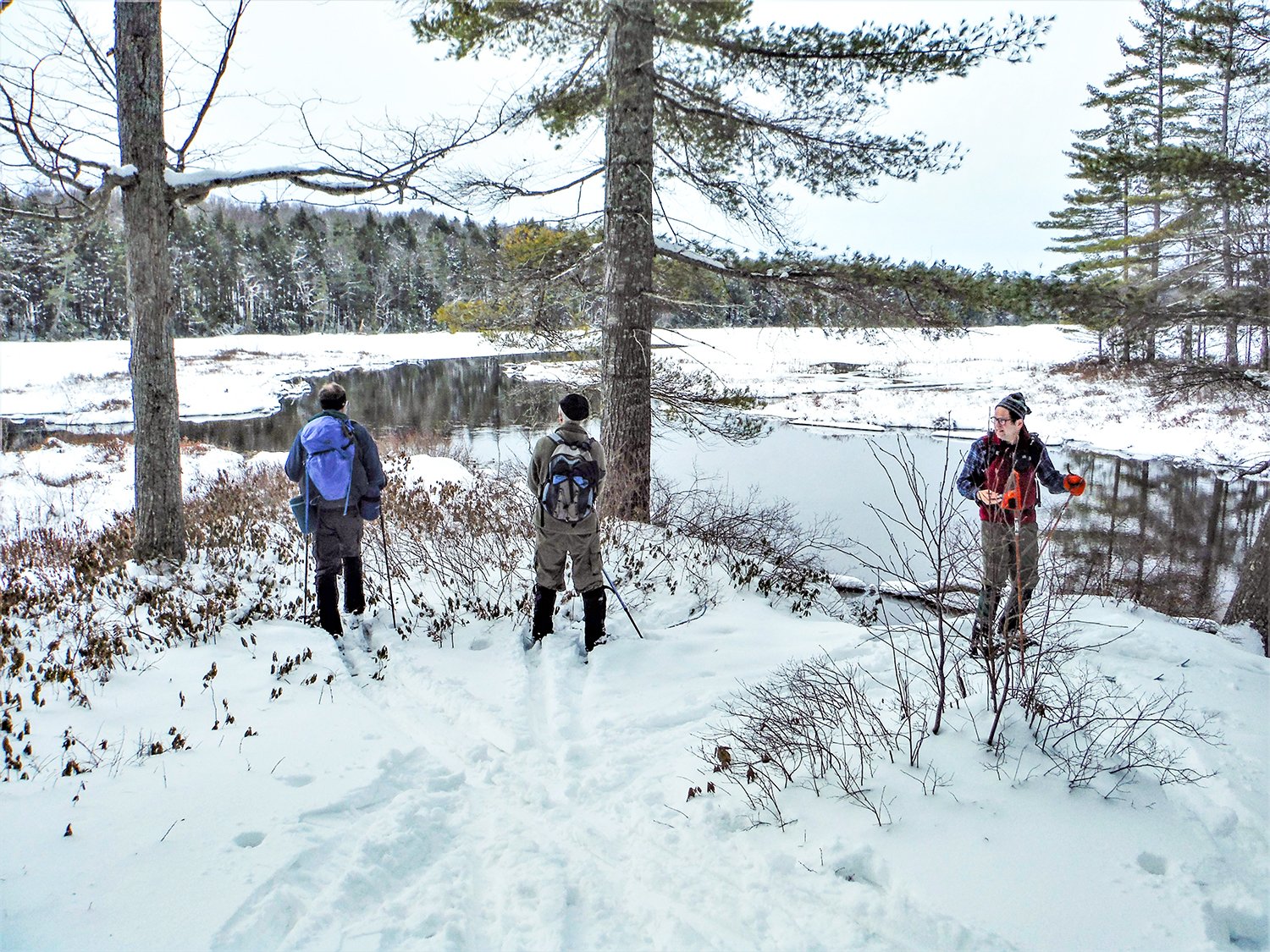
After skiing southwest across the pond, we picked up the canoe carry trail to Floodwood Pond. Canoe carry trails in the Adirondacks have yellow trail markers and a white sign at each end to make them easier to find from the water. A bit of a climb (it felt easier than when I did this with a canoe over my head) soon led us to the red-marked hiking/snowmobile trail that would take us past Floodwood Pond and Fish Creek. The trail showed some recent snowmobile use but we did not see nor hear any machines during our outing. An exciting downhill drop brought us to the east shore of Floodwood Pond. The trail then travels over rolling terrain to the pond’s outlet, Fish Creek, and turns south to parallel the creek. The creek stays mostly out of sight unless you take a right to a bridge or make a short detour off the trail. The creek had some open water on the day of our trip, especially wherever the current was quickest.
The group taking a break on the snowmobile trail. Rich Macha
The trail comes close to Fish Creek when the creek meets Little Square Pond at a campsite. The skiing then becomes easier as the gently rolling trail pulls away from the creek and passes through mature woods with tall trees rising skyward. Eventually, after skiing 3.7 miles, we reached the carry trail that takes paddlers from Fish Creek to Follensby Clear Pond. The snowmobile tracks headed out onto the pond. The red and blue trails cross the carry trail and are just a short distance apart. We visited both the creek and the pond to admire the scenery before turning north on the blue-marked trail that had just a hint of old ski tracks on it and thus required some relatively easy trail-breaking.
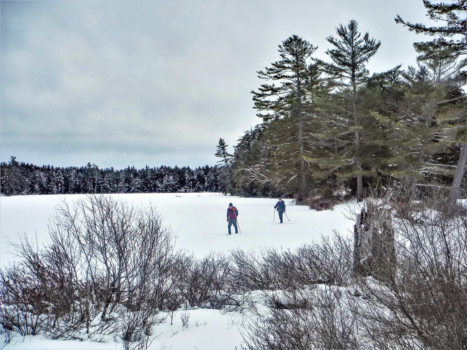
The route then goes around the southeast lobe of Horseshoe Pond before heading out onto a peninsula, at the tip of which we stopped for a lunch break. While I reenergized myself with some food and hot drink, I cheerfully recalled sitting at the same spot many years ago on a spring pond-hopping canoe trip.
Back on the blue trail, we skied around the northwestern lobe of the pond before we met with the only real predicament of the day – the brook that runs between Little Polliwog and Horseshoe Ponds was running high and was uncrossable without getting your feet wet, so we headed out onto the pond and made a wide detour around the inlet area, where you should expect the ice to be thin, before heading for shore and bushwhacking back to the trail.
Fish Creek at the carry to Follensby Clear Pond. Rich Macha
The trail then stays well above Little Polliwog and Polliwog Ponds, and a carry trail allows the skier to drop down and take a closer look at the ponds. The route becomes slightly more challenging after that, with some ups and downs before reaching the carry trail between Polliwog and Middle Ponds. After making a left turn, we were soon within sight of the cars and the end of our counterclockwise loop.
Overall, I would rate this trip as low-intermediate. It was very rewarding to see these seven ponds and the creek from a different perspective. The area sees many paddlers during the summer months, thanks partly to the proximity of Rollins and Fish Creek Pond state campgrounds, but does not get visited by many in winter – we only saw one other skier during our trip.
From a snow-lover’s point of view, the El Niño-influenced winter of 2023-24 has made a miserable start but, hopefully, by the time you read this, things will have improved greatly and we can enjoy the wonders of the season while gliding on (frozen) water.
A lover of wild places, Rich Macha has led many trips for the Adirondack Mountain Club, and has spent 20 years in the paddle/snowsport business. More of Rich’s adventures can be found at northeastwild.blogspot.com.
Horseshoe Pond. Rich Macha
